



We left Silver Lake Resort (Mount St. Helens) and drove toward Mount Rainier’s Nisqually Entrance, approaching through Morton, Elbe, and Ashford. A line of cars greeted us near the entrance, but we waited only about 20 to 30 minutes. We used an annual national park pass after finally passing beneath the Mount Rainier National Park gateway.
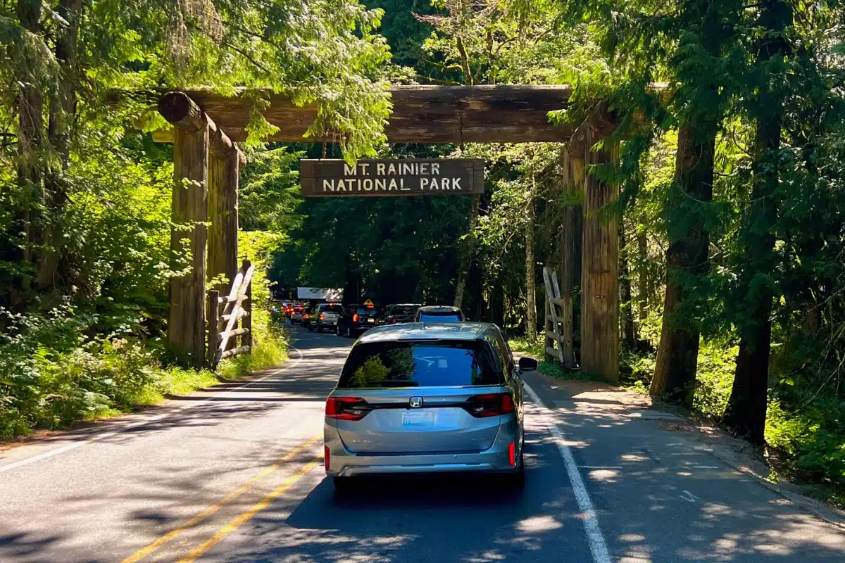
From the entrance, the drive through old-growth forests led us to Longmire, about six and a half miles into the park. Parking took some searching, but we found a spot and enjoyed a short look around the historic district.
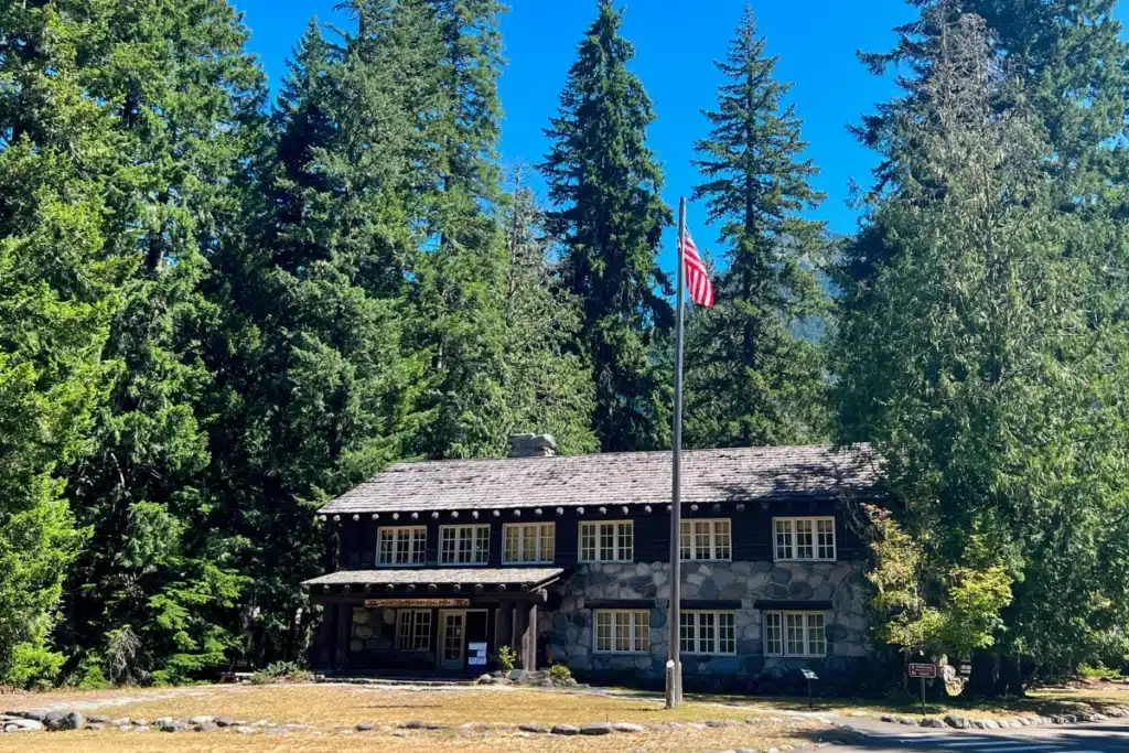
Longmire was also a welcome restroom stop. The first restroom stop in the Park was more rustic and crowded, while the bathrooms here and the museum felt less crowded during our visit. We looked at the historic buildings and stepped inside Longmire Museum, housed in a building originally constructed in 1916 as the park’s administrative headquarters.
We enjoyed the stop, but with only one day left, we were eager to head toward the mountain and its viewpoints.
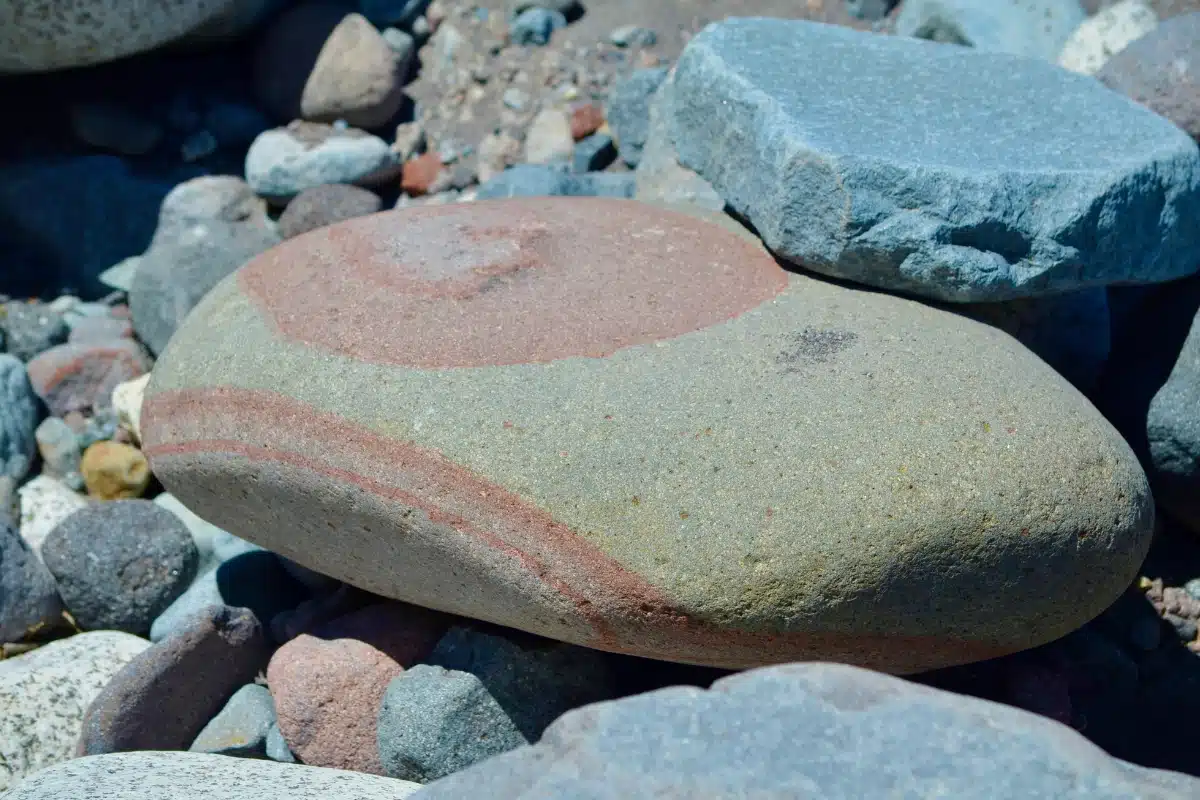
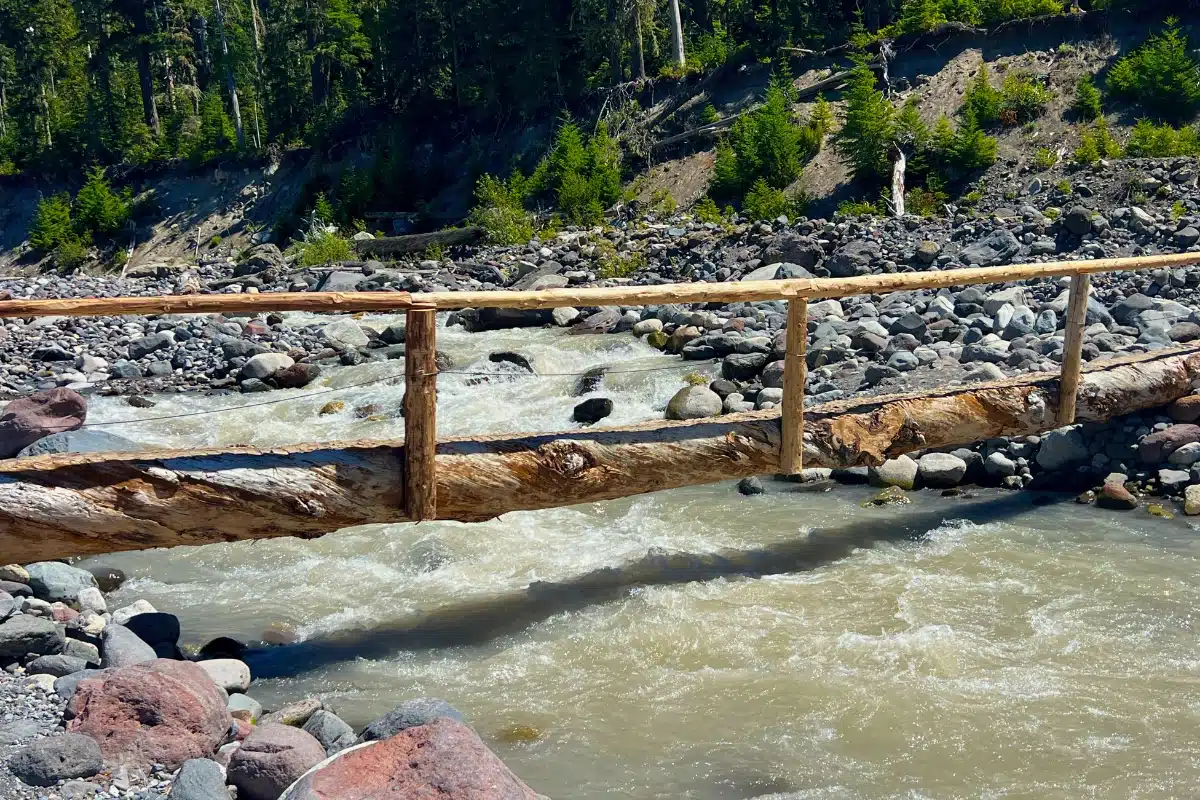
Our next stop was the Carter Falls trailhead pullout across from Cougar Rock Campground, about two miles beyond Longmire. We walked down toward the Nisqually River, where the rocky riverbed opened up to incredible views of Mount Rainier.
We love rocks, and this was a place where we could easily lose track of time. The exposed stones came in a variety of colors, and we took plenty of photos as we explored near the river.
We also walked onto the narrow log footbridge. The bridge was narrow, so we timed our photos around visitors coming from either direction. The river, the bridge, and the mountain made this one of our most memorable stops.
My brother-in-law looked around and remarked that it definitely looked like “Bigfoot country.” That comment stayed with me. After the trip, I added Bigfoot to one of our photos for a little fun.
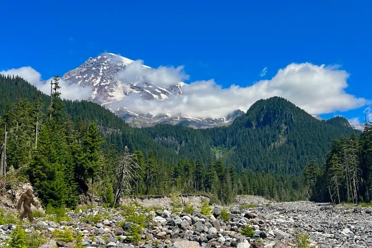
For anyone planning this stop, the National Park Service’s Carter Falls trailhead information explains the river access and the footbridge, which can wash out during fall and winter. Check current conditions before planning to cross.
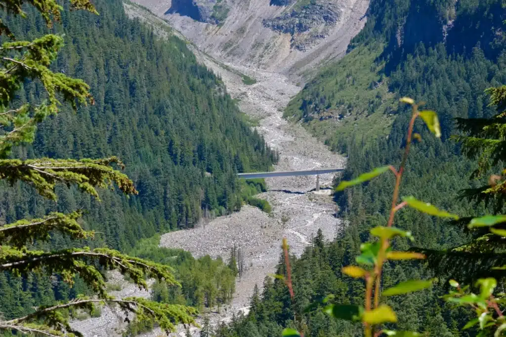
We found parking at Narada Falls without difficulty and walked across the bridge over the Paradise River at the top of the waterfall. Soon, the pavement gave way to a dirt trail that descended toward the lower viewpoint.
The viewing area was small, and we waited briefly for space at the front to take photos. Everyone was friendly about taking turns, then leaving or moving toward the back. The waterfall was incredible, and we captured photos of a rainbow at its base.
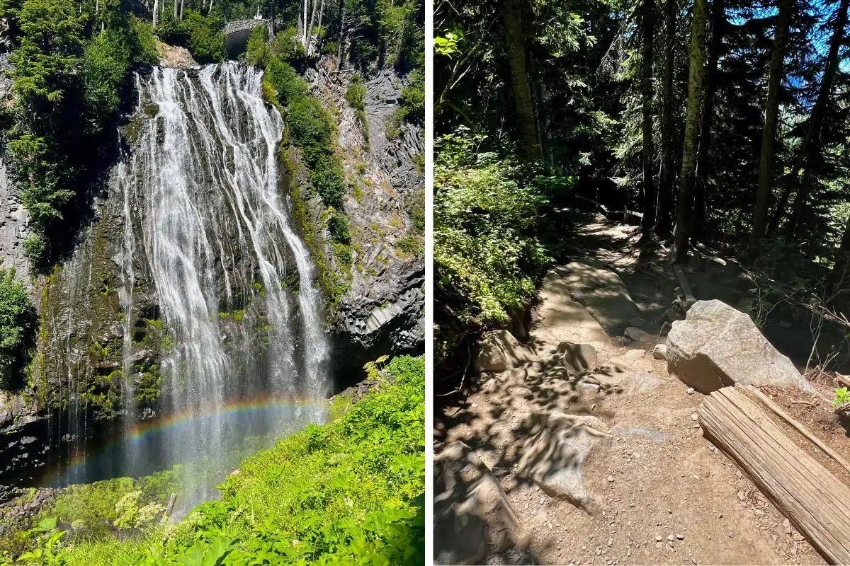
My brother-in-law and I continued farther down toward the Wonderland Trail to see the river and falls from other angles. For me, though, the main lower viewpoint, with the rainbow, was the highlight of this short hike.
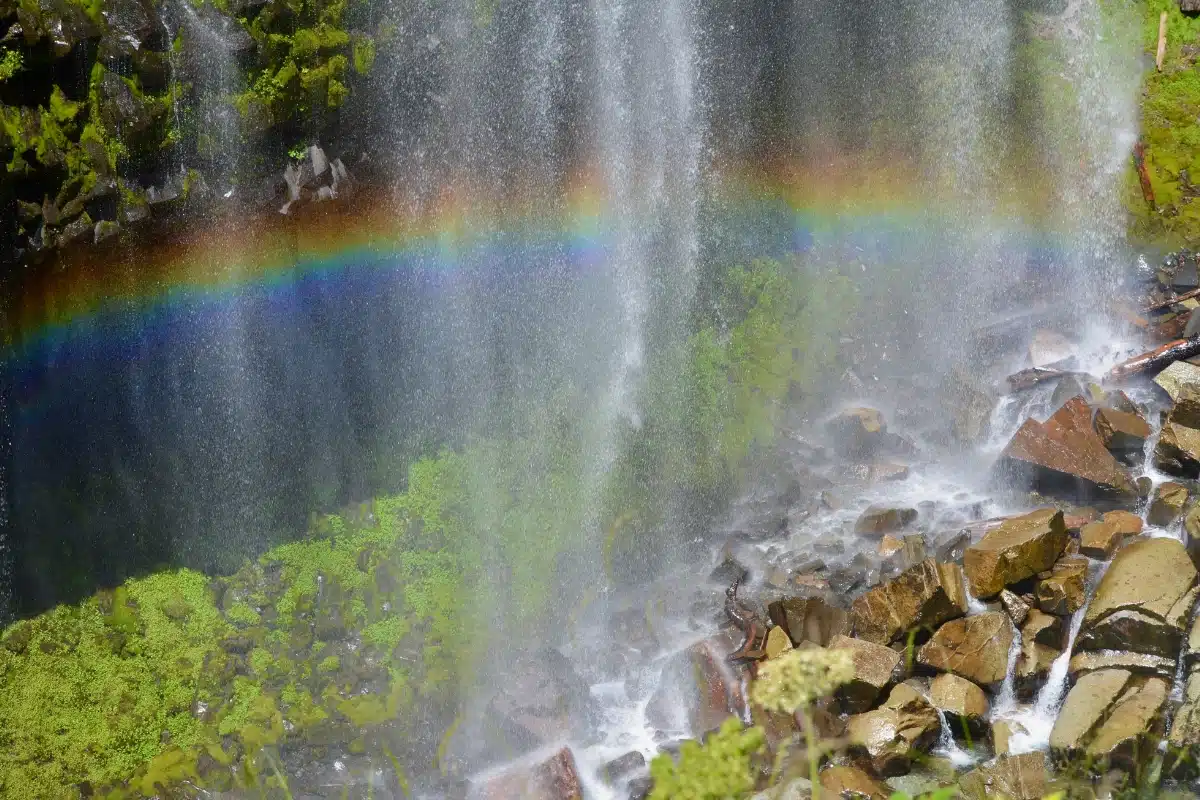
The return to the car was uphill, and I found it manageable. For planning, the National Park Service lists the walk to the lower viewpoint as 0.4 miles round trip, with a steep 200-foot descent followed by the climb back. Our extra exploring went beyond that route. The path can be wet and slippery, so consider footing and the return climb when deciding whether to go down.
Read our full Narada Falls hike story for more rainbow photos, a closer look at the trail, and information about nearby stops and connecting hikes. See the official Narada Falls visitor information for trail details and seasonal considerations.
Paradise was the highlight of our visit, literally and figuratively. By the time we reached the Henry M. Jackson Memorial Visitor Center, parking was very full, including the lower lot. We caught someone pulling out and were fortunate to get a space fairly close to the building.
The visitor center area was busy, especially the restroom line. During our visit, a short walk toward the Paradise Wilderness Information Center led us to public restrooms with no line. We also bought lunch in the visitor center. Finding a table for four took some looking, but a side table near an exit served us perfectly for lunch and a short break.
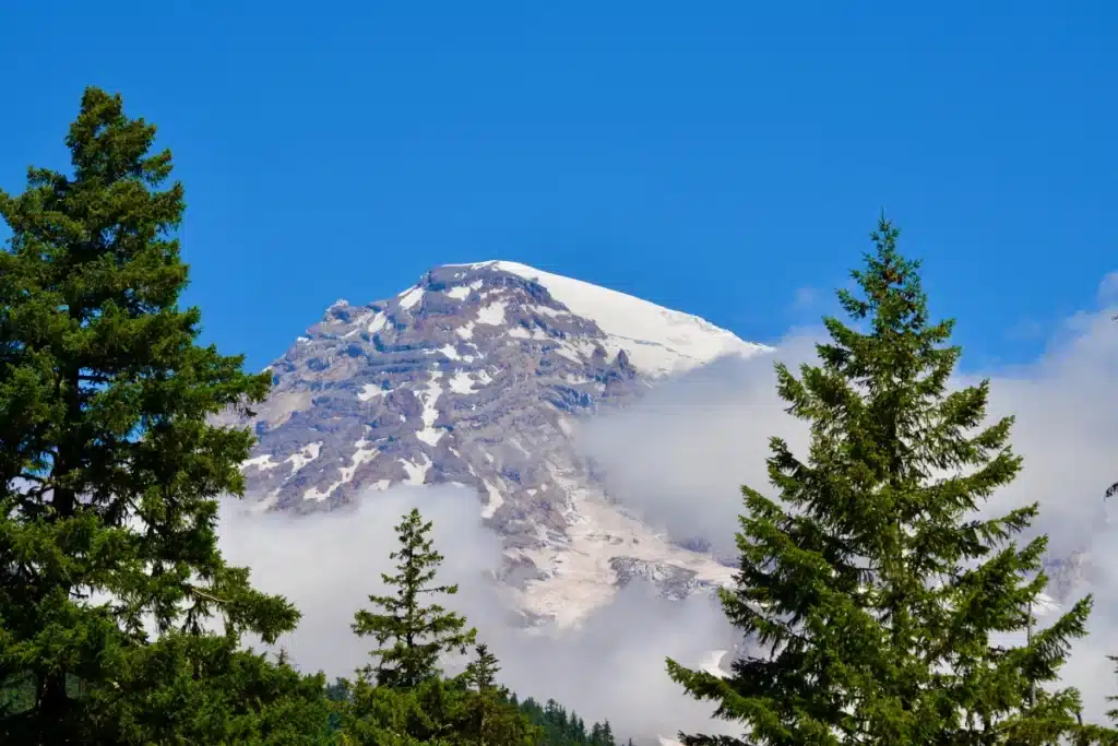
Outside, I kept taking photos of Mount Rainier. White clouds drifted past and beneath the summit, with a deep blue sky behind them. The scene changed so often that it was hard to put the camera away.
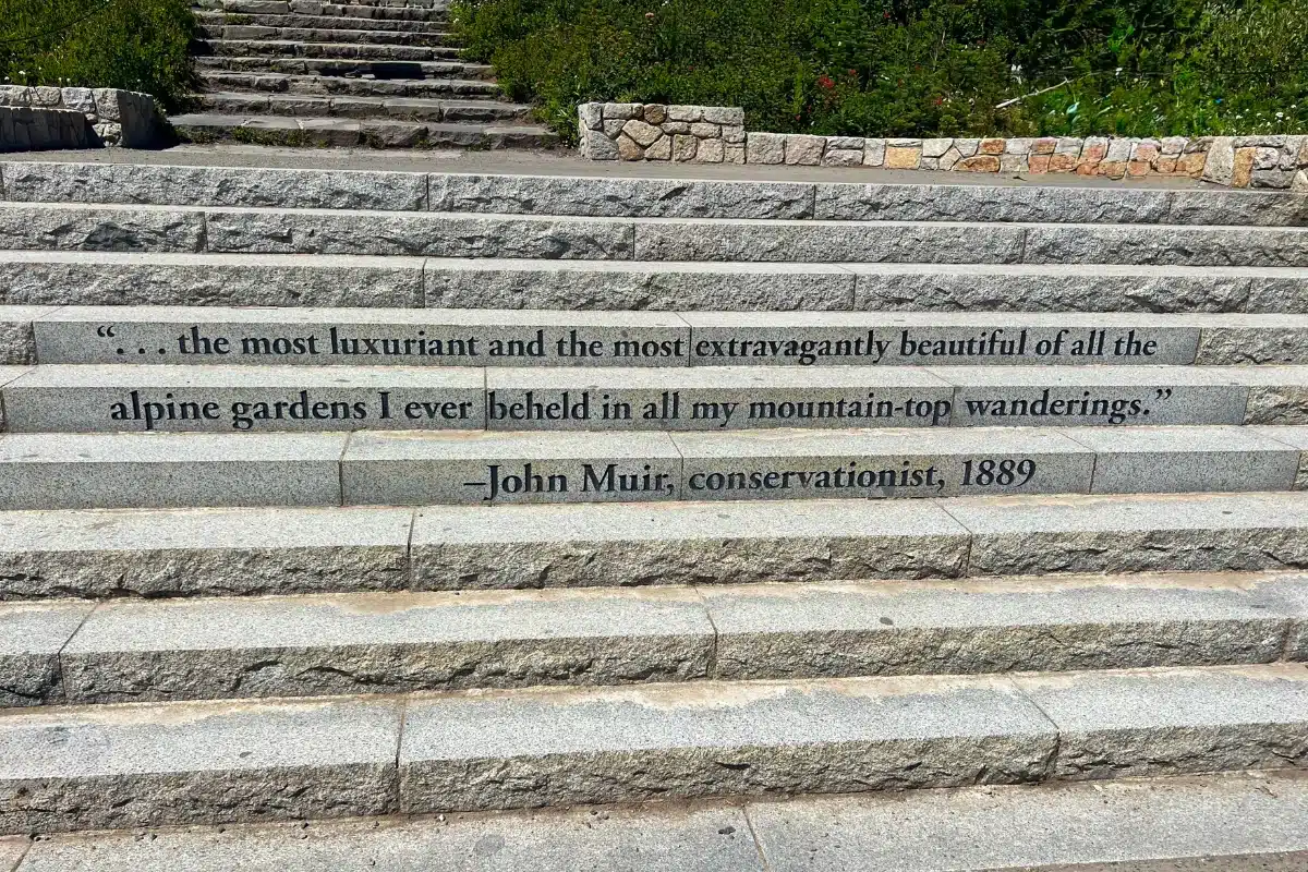
I had also wanted to walk up the granite steps at the Paradise trailheads, where a quotation from John Muir is etched into the stone. Getting a photo of those steps and the inscription was another small moment I had looked forward to for years.
Over lunch, we reviewed the maps and narrowed our walking options to Myrtle Falls or Nisqually Vista. After an active Alaska cruise and several busy days exploring Washington, our group wanted something easier. My sister-in-law voted for the glacier views, partly because we had already enjoyed so many waterfalls at Mount Rainier and Olympic. We chose Nisqually Vista.
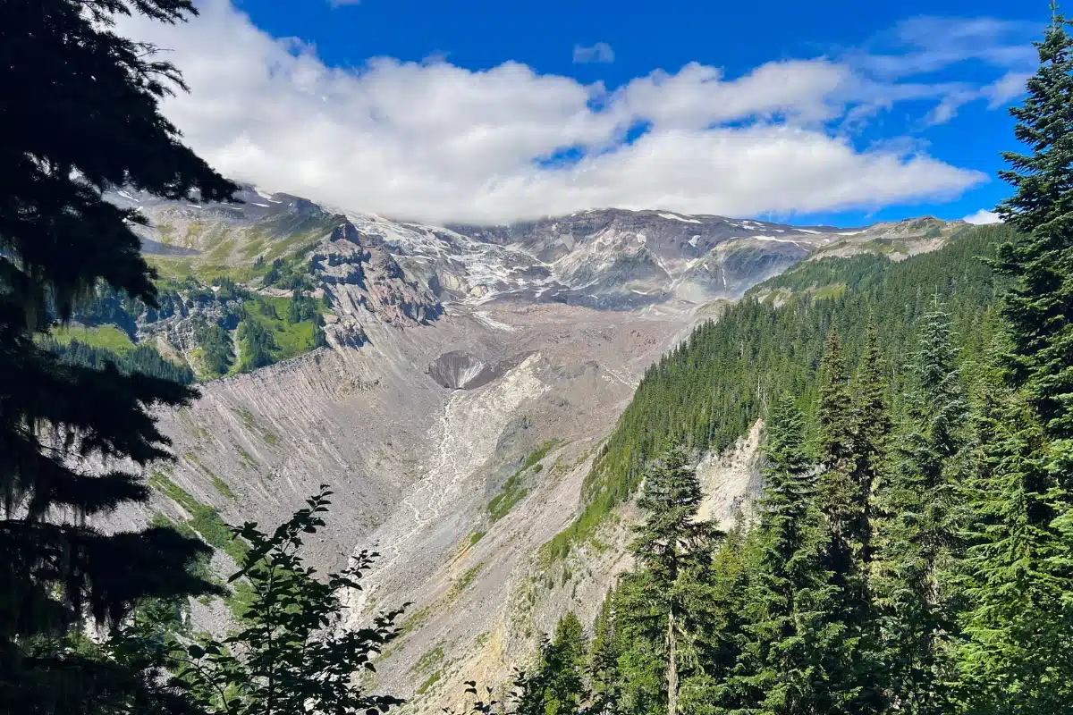
Nisqually Vista gave us tremendous views of Mount Rainier, woodlands, and eventually the glacier itself. We stopped at every viewpoint, looking across the gorge toward the ice and the mountains beyond. Water flowed from beneath the glacier and continued down the gorge as the Nisqually River.
Our group had chosen an easier walk after several active days, but we quickly discovered that “easy” meant different things to different people. The ups and downs prompted a few comments about the description we had seen saying the trail was suitable for strollers. I found the walk manageable and on the easier side, while others in our group felt differently.
We also suspected that the mileage we had read began farther along our route, making the walk from the visitor center longer than some of us expected. For planning, the National Park Service lists Nisqually Vista as a paved 1.2-mile loop with 200 feet of elevation gain, starting at the west end of the lower Paradise parking lot. Allow extra walking time from wherever you park.
The viewpoints gave us plenty of reasons to pause. At one, we listened to a ranger speaking to a tour group. At another, we waited with other visitors for clouds to drift away from Mount Rainier so we could take photos. At our final viewpoint, newlyweds were having their pictures taken against a beautiful mountain backdrop.
For route and accessibility details, see the official Nisqually Vista Trail information. The route includes slopes and a short stair section at the lower parking lot entrance, so consider those features when choosing a walk for your group.
Read our full Nisqually Vista Trail story for more glacier photos, route details, and our group’s differing opinions about the “easy” rating.
After returning to the visitor center, we began our drive toward Seattle by a different route through the park. Stevens Canyon Road gave us more incredible scenery and fresh angles on Mount Rainier, with two final stops before we left.
At Reflection Lakes, I photographed the mountain reflected in the water. Ripples softened the reflection, so my pictures looked different from the glassy scenes I had admired in other photographs. But how could I be disappointed when I was standing here in Mount Rainier National Park?
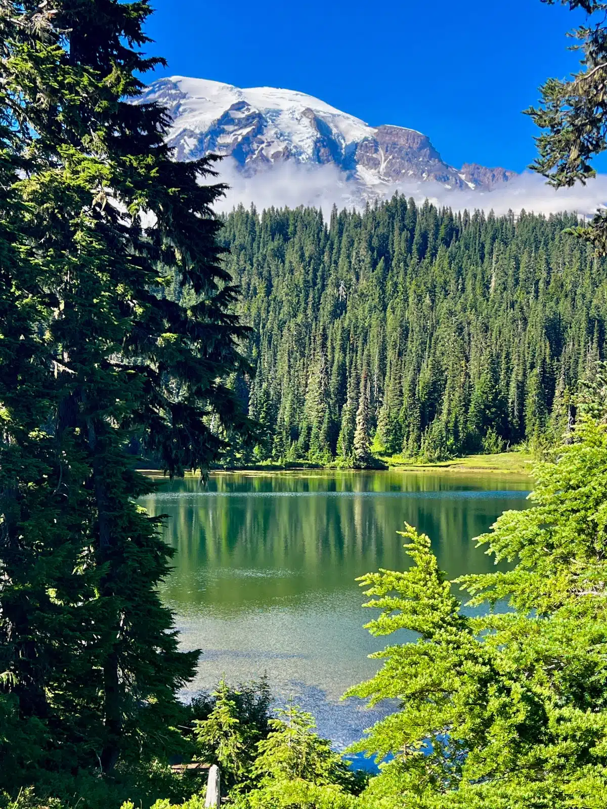
Our last overlook was a pullout on a sharp hairpin turn near the Bench and Snow Lakes area. The steep drop beside it had me double-checking the parking brake. From there, we enjoyed stunning mountain views and could see Martha Falls in the distance across the gorge.
We continued to State Route 123 and began the journey to our hotel near Seattle’s airport. Parts of the drive felt remote, and we stopped along the way to photograph an elk beside the road. It took us about two and a half hours to reach the hotel, bringing our Washington land tour to a close.