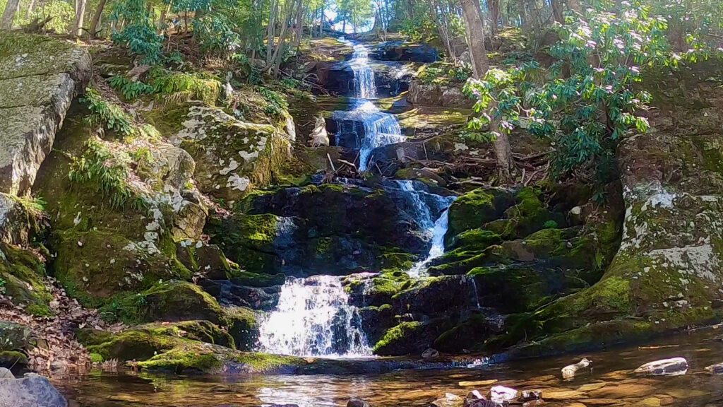
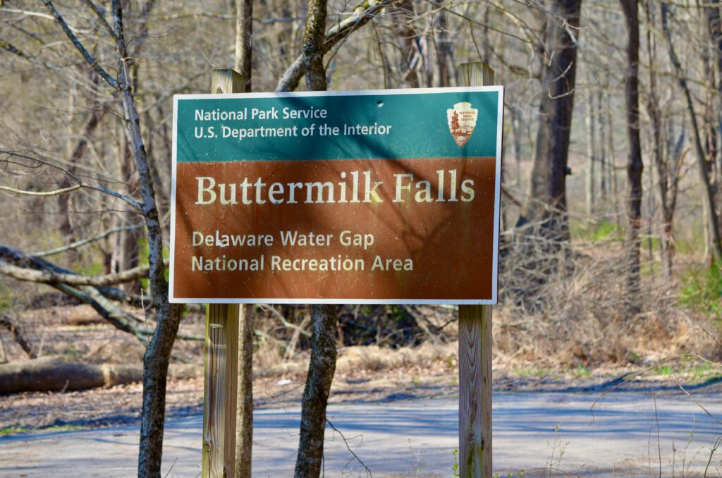
Buttermilk Falls is New Jersey’s highest waterfall. This waterfall is located in the northern part of the Garden State and is in the Delaware Water Gap National Recreation Area. A stunning area of natural beauty, Buttermilk Falls provides visitors with a breathtaking view of a cascading stream that winds through the lush forest and around the moss-covered, rocky cliffs.
Buttermilk Falls is a special place where visitors can take a moment to relax, reconnect with nature, and appreciate the area’s awe-inspiring beauty. Whether you are looking to hike a strenuous trail or simply take a few steps from your car to see the waterfall, Buttermilk Falls should be on your bucket list. So come and explore the wonders of this amazing area.
Key Facts: Buttermilk Falls NJ
Hiking Mileage and time
There are several options for hikers at Buttermilk Falls, NJ:
- No hiking: the falls are directly across the gravel road from the parking area. If hiking isn’t your thing, cross the road and enjoy the view.
- Climb stairs to the top of the falls: I didn’t count stairs, but the falls are around 200 feet high. You can enjoy a mid-way viewing platform and another platform at the top of the falls. It’s worth the stair climb!
- Hike past the falls to the Appalachian Trail: If you are looking for more of a hike, you can continue up the mountain to the ridge where the Buttermilk Falls Trail ends at the Appalachian Trail. This out-and-back hike is just under 3 miles.
- Longer hikes: If you want to cover more mileage, head north or south on the Appalachian Trail for as long as you want.
Watch a short video of climbing to the top of the stairs at the end of this post.
Travel Logistics for Buttermilk Falls, NJ
There are two important points to know. First, because of the natural appeal of Buttermilk Falls and that it’s the state’s highest waterfall, this area gets a lot of visitors. Second, Buttermilk Falls is not always easy to get to!
- Crowds: plan your visit around the crowds. Weekends in the summer can be packed. We visited on a weekday in April, late in the afternoon, and only a few people were there. Early in the day, weekdays, off-season, and potentially on bad weather days might be the best time to enjoy the falls peacefully.
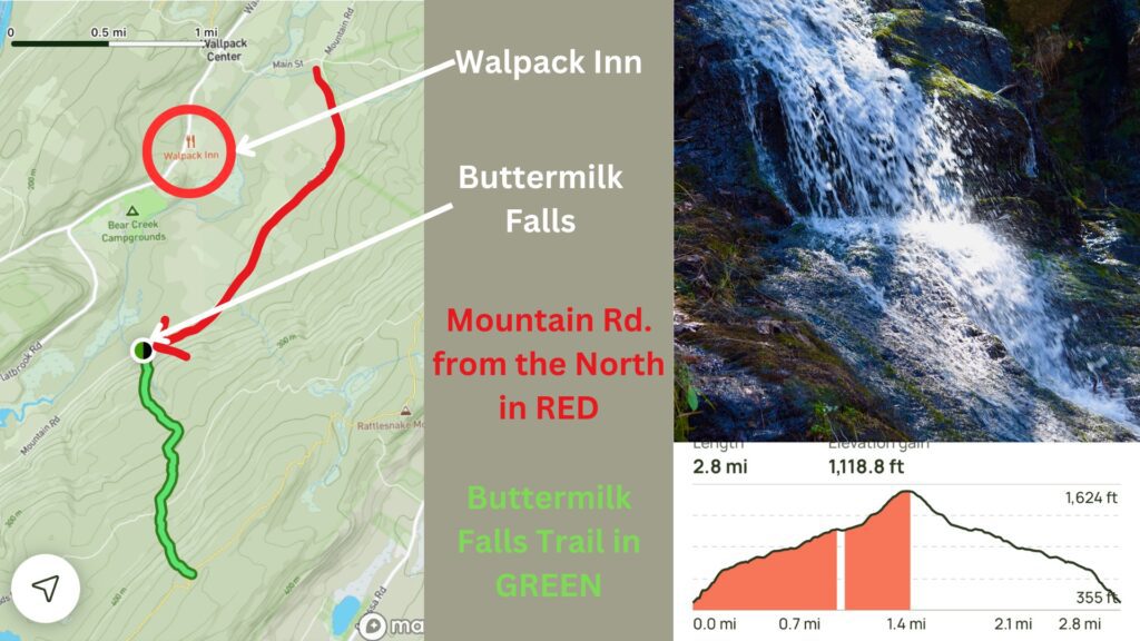
- Directions: Google Maps directed us towards several roads that had not been passable for quite some time. We met some folks who said they parked by a closed road and walked a mile or two to get to the falls. We found the parking area after rechecking Google Maps a few times. Here is our advice to find the falls:
- Location: Buttermilk Falls Trail Parking, Mountain Road, Layton, NJ
- Buttermilk Falls, NJ Coordinates: N41.13702° W74.88917°
- If you are coming from the South, navigate to the Walpack Inn (a legendary place to eat) and then to Buttermilk Falls from there. Google Maps lets you “add a stop,” which is convenient for navigation.
- Approach the falls from the north on Mountain Rd. (This is the only way to get to the parking area)
- Mountain Rd. to the south of the falls is closed at a bridge. Also, a section of Haneys Mill Rd. is not passable.
Trail Rating
This Buttermilk Falls Trail is rated as moderately difficult. To reach the top of the mountain and the Appalachian Trail, you will hike almost 1.5 miles straight uphill. You can always stop at the top of the falls or even enjoy the view at the base without a hike. Either way, Buttermilk Falls is a great place to hike and see the wild side of New Jersey.
Notable trail sections
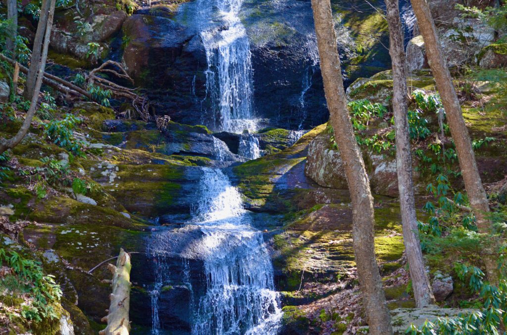
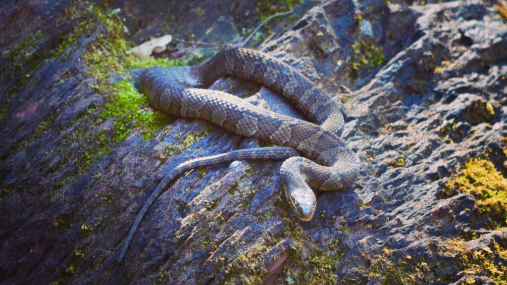
The stairs that climb to the top of the waterfall are something everyone in the state (and visitors) should do. It is fun to walk up just to the side of the waterfall. We saw a neat watersnake perched on a rock near the cascading water (see picture below).
The other notable section is at the termination of the Buttermilk Falls Trail. The trail ends at the top of a mountain at the intersection of the Appalachian Trail. Any trail that starts with a stunning waterfall and ends on the AT is notable in our books!
Family Friendly?
Buttermilk Falls, NJ, is a very family-friendly place to visit. You may want to plan around peak visiting times (e.g., summer weekends) to let children spend some time at the base of the falls without managing the crowds. The trail to the top of the mountain may be too much for smaller kids, but the stairs to the top can be managed by most.
Buttermilk Falls Trail Map
Trail Parking
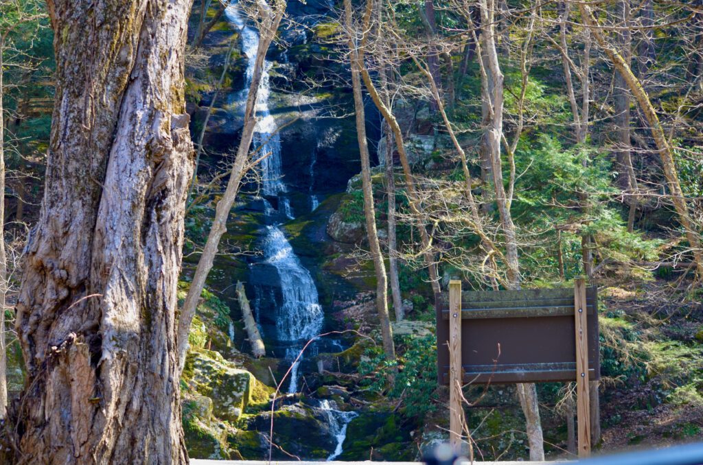
Unlike most hikes to waterfalls, the parking area is right at the base of the falls (see picture below). The Buttermilk Falls Trail begins at the waterfall and enters the forest from above. There is a decent-sized parking area, but it does fill up on weekends in late spring, summer, and fall.
Buttermilk Falls, NJ Hiking Tips
- Good hiking shoes probably aren’t required if you plan to stick to the stair section of Buttermilk Falls Trail.
- Arrive early, later in the day, or at off-times (e.g., mid-week) to avoid crowds.
- Drive slow on the final road that leads to the Buttermilk Falls parking lot. A local resident accurately described it as “pot-holey.”
- Bring a camera…this is definitely a place to take a few pics.
Top 5 Reasons to Visit Buttermilk Falls, NJ:
- Buttermilk Falls is New Jersey’s tallest waterfall. (Remember that it slows to a trickle in the summer and when there isn’t much rain.)
- Traveling to Buttermilk Falls takes you through more remote areas of the Garden State.
- No hiking is required to see the falls. This comes in handy for folks who are not able to hike.
- You can hike to the Appalachian Trail from Buttermilk Falls. Be sure to look out for through-hikers (generally in May through August) who are on their way to Mt. Khatadin in Maine or Springer Mountain in Georgia.
- All this fun is located within the Delaware Water Gap National Recreation Area, which has many places worth visiting!
A video of the Buttermilk Falls, NJ, from its base to the top
This short hiking video shows the Buttermilk Falls, New Jersey’s highest waterfall.
For additional information, please visit the National Park Service website.
